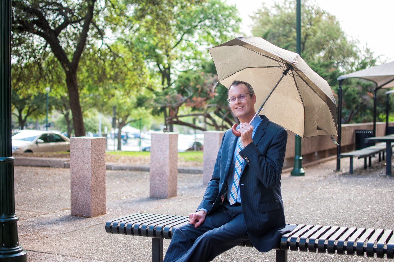
Rain for Many
July 1st, 2009 by BurtonUmbrellas may be getting a workout again today! Rain chances hold at 30% through the first day of July, typically our 2nd driest and 2nd hottest month of the year. A few storms might also rumble through the area with a brief downpour. Keep an eye on the radar…
Some 24 hour totals:
1.97″ Lady Bird Lk@Longhorn Dam
1.20″ Elgin
0.73″ Waco
0.61″ Barton Creek @ 360
0.57″ Thorndale
0.39″ Austin-Mabry
0.37″ Austin-Bergstrom
0.31″ Marble Falls
Today’s strongest storms could deliver damaging hail and lightning, though most will simply offer rain. We expect less than 1/4″ in most areas though a few may add on another 1/2″.
Fairly cloudy skies and moist grounds yield low to mid 90s today at the warmest. A few showers may linger into early Thursday (a <20% chance) but we anticipate sunshine beaming back our way, sending us right back into the heat wave as high pressure again strengthens over Texas through the end of the week.
Holiday Forecast… Hot, dry weather looms ahead for the Independence Day weekend with rain chances appearing ultra low. Make sure you have something cool planned! A weather system moving through the Central Plains will cause southerly winds to become breezy here by Sunday.
Next Week… The heat ridge holds strong through the middle of next week before easing north, possibly opening the gate for tropical weather from the Gulf to move in. Check back for updates on the 8-day forecast.
Summer Stats… July’s typically our second hottest and second driest month of the year with, 1.97″ coming during five rainy days, on average. The 30 year climate records indicate 95 as an average high and 73 as an average low. Find out more summer statistics in our newest edition of the Weather Observer newsletter. A likely warmer than normal July ‘09 may or may not turn out to be wetter than the past 30 days, according to NOAA.
Enjoy your Thursday.
Meteorologist
Burton Fitzsimmons


